Morris Trails & Parking Study
Morris, IL
Overview
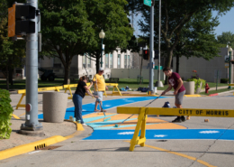
The City of Morris Downtown Parking & Trails Study provides an evaluation of existing parking, trail, bicycle, and pedestrian conditions to support a safer, more connected, and accessible community. Through detailed field data collection, GIS analysis, policy review, and community engagement, the study establishes a clear, evidence-based understanding of how people move through Morris today and where the system falls short. The plan identifies practical, near-term and long-term strategies to improve downtown parking management, expand trail and sidewalk connectivity, and enhance safety for all users. Together, these recommendations position the City to support downtown vitality, advance equity and accessibility, and guide future investment and implementation efforts.